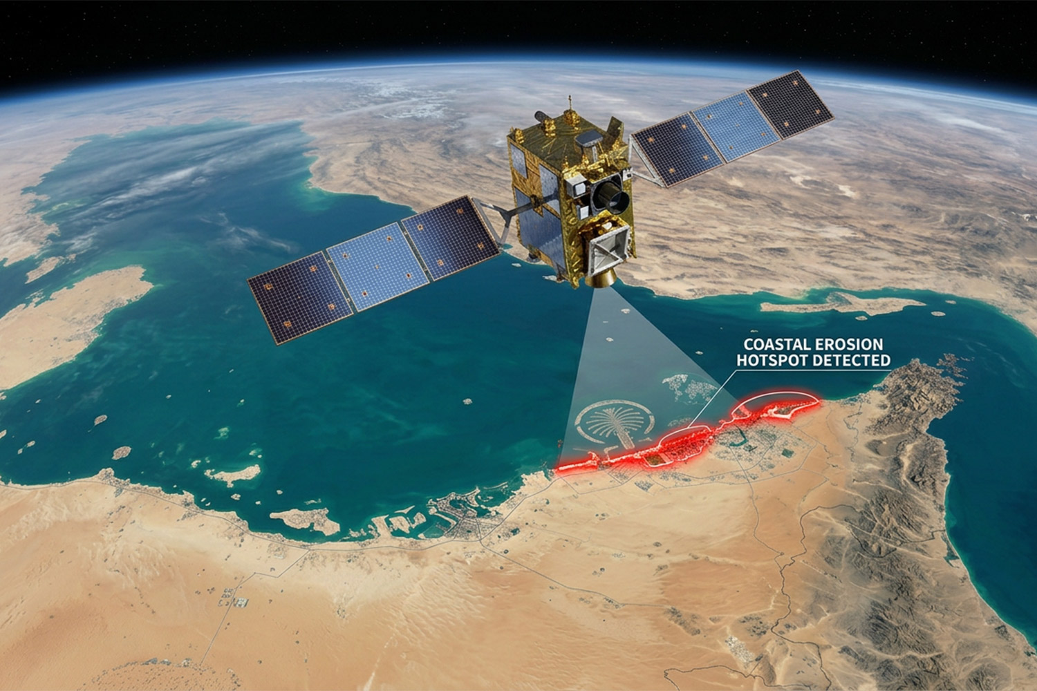
The accelerator, the first programme launched under the Space for Earth Labs platform, brings together leading international SpaceTech companies with organisations across the UAE to develop proof-of-concept projects that demonstrate how satellite-derived data and artificial intelligence can address complex operational and societal challenges.
Following a competitive global selection process involving more than 70 applicants from 24 countries, 11 SpaceTech scale-ups have been chosen to develop pilot projects in collaboration with five UAE public and private sector organisations, including Buro Happold.
AI and real time Earth observation are transforming our understanding of the built environment, enabling us to integrate people and nature into design for more resilient, future-ready places.
Jack Rose, geospatial accelerator co-lead, Buro Happold
Our experts are working with Latitudo40 and SparkGeo to explore how Earth observation data and AI-enabled analytics can power decision-making in the built and natural environments.
The collaboration reflects our commitment to harnessing emerging technologies that improve understanding, strengthen resilience and support more sustainable outcomes for clients and communities.
The ability to access and interpret large-scale Earth observation data is creating new opportunities for infrastructure owners, developers, institutions and cities. From monitoring environmental conditions and assessing climate risks to informing infrastructure planning and asset management, geospatial technologies have the potential to provide deeper insights throughout the lifecycle of projects.
Through the Geospatial Accelerator, our multidisciplinary teams will help assess how these capabilities can be applied in practical, scalable ways to deliver greater value across the built environment sector.
“Satellite data and Latitudo40 proprietary AI algorithms combined can show exactly which areas face the highest risk of severe weather events. With this solid technology foundation, we can turn that insight into early warning that helps protect territories and communities.” says Gaetano Volpe, CEO & Founder of Latitudo40.
The proof of concept, co-developed with Latitudo40, aims to create hyper-localised and context-driven early warning notices for extreme climate events, scalable to any location in the world. The vast quantities of Earth observation data available today make this feasible, and the team at Latitudo40 is demonstrating the ability to create custom systems for a range of end goals, from lifesaving in extreme events to visitor wellbeing in tourism settings.
“A warning is only as good as the action it triggers. When warnings speak the language, landscape, and lived reality of the people receiving them, they can improve quality of life and save lives.” says Pinar Guvenc, geospatial accelerator co-lead and Partner at SOUR.
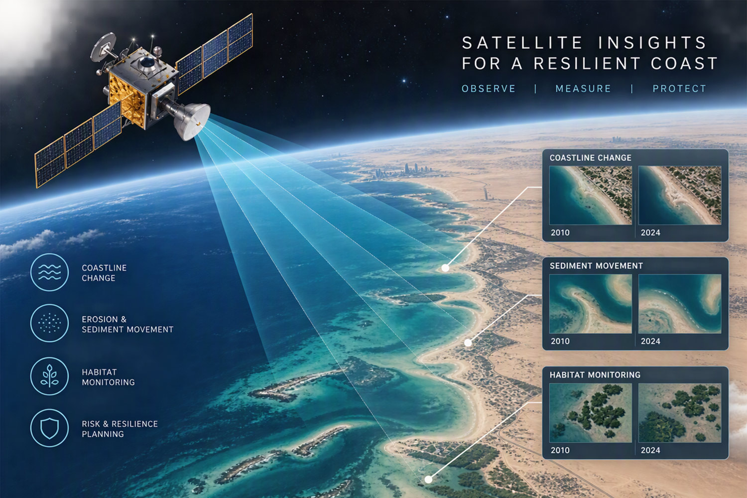
The proof of concept co-developed with SparkGeo focuses on the impact of coastal resilience on habitat change. The team is exploring how Earth observation data, environmental datasets and AI can be combined to predict future shoreline and habitat change across the UAE coastline.
“Most coastal planning still runs on data that’s already out of date by the time it’s used. This project is about closing that gap, giving the built environment sector a predictive signal instead of a historical record.” says Will Cadell, CEO & Founder at SparkGeo.
The approach aims to support planners, developers and environmental authorities understand how coastal environments may respond to erosion, inundation and climate-driven change, supporting more resilient development, conservation planning and nature-based adaptation strategies.
“Resilient coastlines depend on resilient ecosystems. Our aim is to better understand how habitats may evolve in the future so that today’s planning decisions work with nature, rather than against it.” says Lauren Jefferies, Associate Director in nature and biodiversity at Buro Happold.
The programme forms part of Dubai’s wider ambition to establish itself as a global leader in the convergence of space technology and artificial intelligence. Selected scale-ups developed and tested their proof-of-concept solutions, presenting the outcomes at the Dubai AI Festival in October 2026.
By participating in the Geospatial Accelerator, our specialists are contributing to an ecosystem that brings together technology developers, industry leaders and public sector organisations to unlock the value of space-derived data and accelerate innovation across the built environment.
This approach removes all duplicate programme background, leaves both POCs intact, and turns two very similar releases into one stronger story.
These proof of concepts are demonstrating how AI can unlock the enormous potential of Earth Observation data, turning it into meaningful insights about our coasts and natural environment.
Callum Foster, geospatial analysis expert, Buro Happold